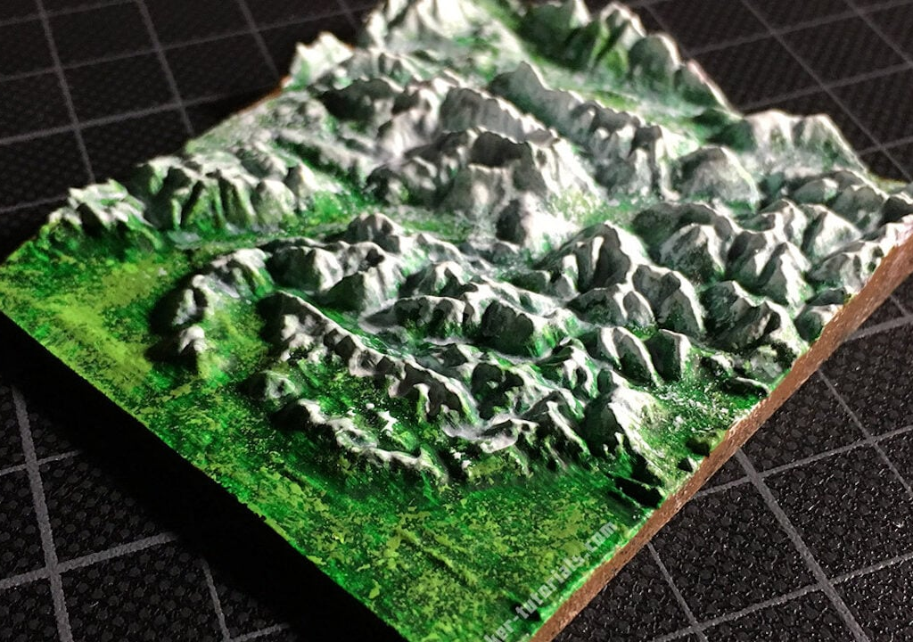
At Burbaks, we specialize in delivering comprehensive 3D topography modeling solutions to meet the diverse needs of our clients. Leveraging advanced Geographic Information Systems (GIS) technologies and industry expertise, we provide cutting-edge modeling services that enable our clients to visualize, analyze, and interpret terrain data with precision and accuracy.

Our 3D topography modeling services include:
- High-Resolution Terrain Modeling: Using the latest LiDAR (Light Detection and Ranging) data, satellite imagery, and aerial photographs, we create high-resolution digital elevation models (DEMs) that accurately represent the terrain features of the landscape. Our models capture detailed surface morphology, including elevation variations, slopes, and terrain roughness, to provide clients with a comprehensive understanding of the topography.
- Terrain Analysis and Visualization: We specialize in conducting terrain analysis to extract valuable insights from 3D topography models. Whether it’s slope analysis, aspect analysis, viewshed analysis, or hydrological modeling, we leverage advanced spatial analysis techniques to identify terrain features, assess terrain characteristics, and derive meaningful information for decision-making. Our visualization capabilities enable clients to interactively explore and interpret the terrain in 3D, facilitating better understanding and communication of spatial information.
- 3D Landscape Rendering and Visualization: Our team excels in creating stunning 3D renderings and visualizations of landscapes and terrain features. Using state-of-the-art software tools and techniques, we generate realistic 3D representations of the terrain, complete with textures, vegetation, and land cover. Whether it’s for urban planning, environmental assessment, or landscape design, our 3D visualizations help clients visualize proposed developments, assess visual impacts, and communicate design concepts effectively.
- Customized Terrain Modeling Solutions: We understand that every project has unique requirements and challenges. That’s why we work closely with our clients to develop customized terrain modeling solutions that address their specific needs and objectives. Whether it’s for engineering design, site planning, natural resource management, or disaster mitigation, we tailor our modeling services to meet the demands of each project, ensuring accuracy, reliability, and efficiency.
- Integration with GIS and BIM Systems: We specialize in integrating 3D topography models with Geographic Information Systems (GIS) and Building Information Modeling (BIM) systems to enhance data interoperability and collaboration. By combining terrain data with other spatial datasets, such as infrastructure networks, land parcels, and building footprints, we provide clients with a holistic view of the landscape, enabling better-informed decision-making and project planning.
At Burbaks, we are committed to delivering innovative 3D topography modeling solutions that empower our clients to unlock the full potential of their spatial data. With our expertise, technology, and customer-centric approach, we strive to exceed our clients’ expectations and deliver actionable insights that drive success.
